")
")

NOAA Graphical Tropical Weather Outlook
National Hurricane Center Graphical Tropical Weather Outlooks
National Hurricane Center Graphical Tropical Weather Outlooks-
NHC Atlantic Outlook
The Atlantic hurricane season runs from June 1st through November 30th.
-
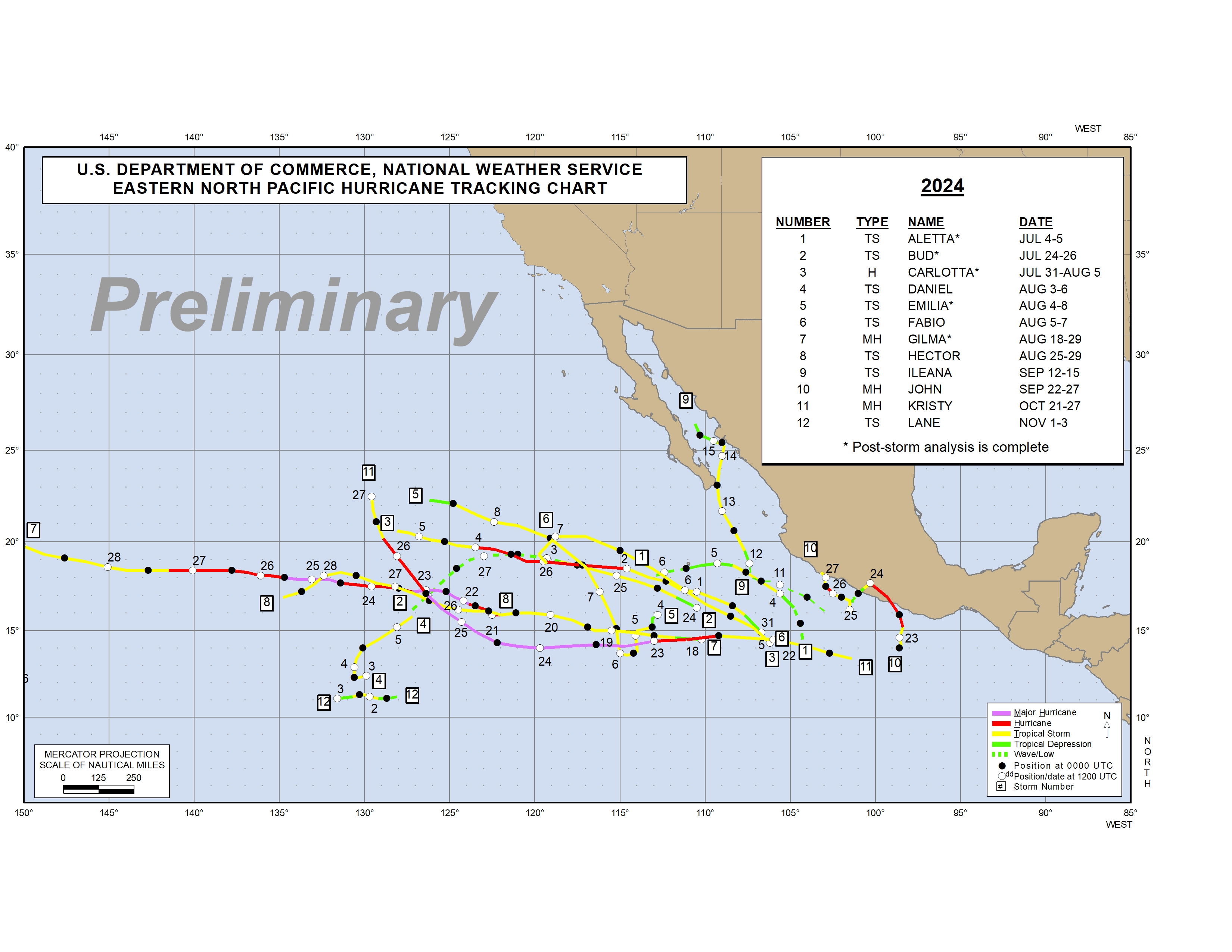
NHC Eastern North Pacific Outlook
ZCZC MIATWOEP ALL
TTAA00 KNHC DDHHMM
Special Tropical Weather Outlook
NWS National Hurricane Center Miami FL
1220 PM PDT Mon May 13 2024
For the eastern North Pacific...east of 140 degrees west longitude:
Special Tropical Weather Outlook issued to discuss possible
development to the south of Mexico later this week.
1. South of the Coast of Mexico:
An area of low pressure is forecast to form along a trough several
hundred miles to the south of the Gulf of Tehuantepec by the middle
to latter portion of this week. Thereafter, some gradual development
of this system is possible as the low begins to move slowly to the
west-northwest, remaining south of the coast of Mexico through early
next week.
* Formation chance through 48 Hours...low...near 0 percent.
* Formation chance through 7 days...low...30 percent.
The next Special Tropical Weather Outlook on this system will be
issued by 2 PM PDT Tuesday, or earlier if conditions warrant.
Forecaster Papin
-
CPHC Central North Pacific Outlook
The Central North Pacific hurricane season runs from June 1st through November 30th.
NOAA Tropical Weather Alerts
NHC Eastern North Pacific
14 May 2024
Active tropical cyclones in the Eastern North Pacific-
Eastern North Pacific Tropical Weather Outlook
000 ABPZ20 KNHC 131920 TWOEP Special Tropical Weather Outlook NWS National Hurricane Center Miami FL 1220 PM PDT Mon May 13 2024 For the eastern North Pacific...east of 140 degrees west longitude: Special Tropical Weather Outlook issued to discuss possible development to the south of Mexico later this week. South of the Coast of Mexico: An area of low pressure is forecast to form along a trough several hundred miles to the south of the Gulf of Tehuantepec by the middle to latter portion of this week. Thereafter, some gradual development of this system is possible as the low begins to move slowly to the west-northwest, remaining south of the coast of Mexico through early next week. * Formation chance through 48 Hours...low...near 0 percent. * Formation chance through 7 days...low...30 percent. The next Special Tropical Weather Outlook on this system will be issued by 2 PM PDT Tuesday, or earlier if conditions warrant. $$ Forecaster Papin
-
The Eastern North Pacific hurricane season runs from May 15th through November 30th.
The Eastern North Pacific hurricane season runs from May 15th through November 30th.
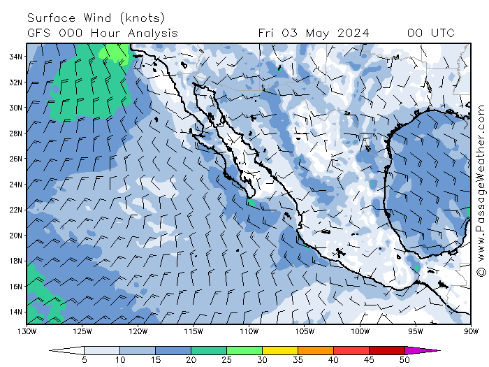
Information here is copyright passageweather.com. Click the image for more weather forecasts.